SURVEYING | The survey department at Guntlow & Associates, Inc. has over 40 years combined experience in the many different aspects of land surveying. Our highly experienced staff uses state of the art equipment 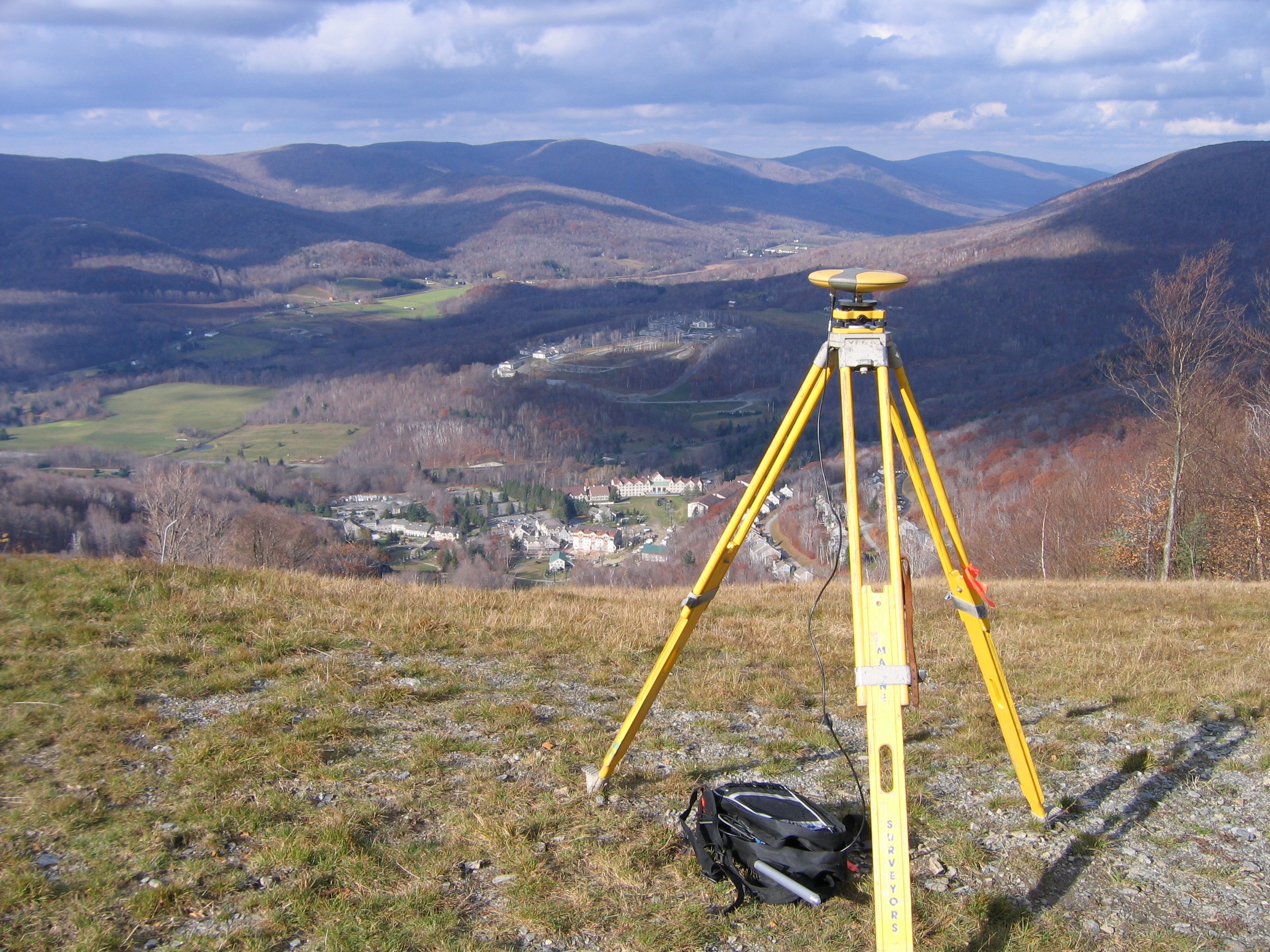 including electronic total stations and GPS. We offer boundary, Land Court, ALTA/ACSM Land Title surveys and mortgage plot plans in addition to performing topographic, utility, construction layout as well as photogrammetric control and as-built surveys. Our staff is fully trained with respect to boundary line deed research at the various State registries.
Because we have in-house survey capabilities, we have a better control over timeframes and cost implications related to survey. For example, our survey team uses the same drawing templates as our designers, saving considerable time in AutoCAD layer management. They are also cognizant of the scope of each project, and therefore, can investigate a site to identify specific features that will be of value to the design team. In addition, with the ability to generate recordable subdivision and Form A plans, we can take a subdivision project from start to finish, without the need for a survey sub-consultants and unnecessary consultant mark-up. This also proves useful when temporary construction or permanent easements are required.
Boundary Line Survey
A boundary survey establishes or reestablishes boundary lines of the subject property using found monuments in comparison to the record deed and plans.
Topographic Mapping
A topographic survey locates natural and manmade features (such as streams, trees, buildings, fences) with elevations. The elevation can either be in an assumed datum or tied into State Plane system to create a contour map.
GPS Control Surveys
A control survey establishes permanent control points over large tracts or parcels of land. GPS control surveys are used in determining State or Town/City Boundaries, for aerial photo control and elevation certificate surveys.
Construction Layout
Construction layout surveys superimpose the information shown on plans to the construction site so the various trades can construct buildings, roads, drainage and utility systems. In the case of the Jiminy Peak Wind Turbine, Zephyr, we laid out the structural reinforcement for the foundation.
ALTA/ACSM Land Title Survey
A land title survey is performed on commercial property to supply the title company and lending institution with boundary and feature location necessary for issuing title or extended coverage title insurance.
Other Services
We also provide Mortgage Loan inspection plans, Land Court Surveys, subdivision/development surveys, FEMA elevation certificate surveys.
Survey Equipment
Our survey equipment includes state of the art tools of the trade including Nikon NPL-522 reflectorless total station, Topcon 800 series Robotic total station, Ranger data collectors with TDS software and Javard GPS positioning for static and RTK surveys.